KUN Airport full scan
Kaunas International airport
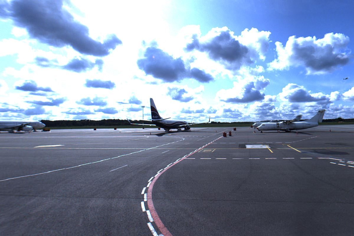
All 440 ha territory scanning, 2D+3D vectorization and surface modeling. For the first time, driving with a mobile mapping system on the ground we had to look at the mirrors for an aircraft from behind 🙂
Actually it was a very nice experience. Many thanks to Kaunas International airport staff and the safety guys who led us through the active runway! Now we know bussiest days of KUN 🙂
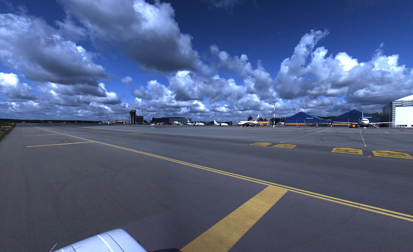
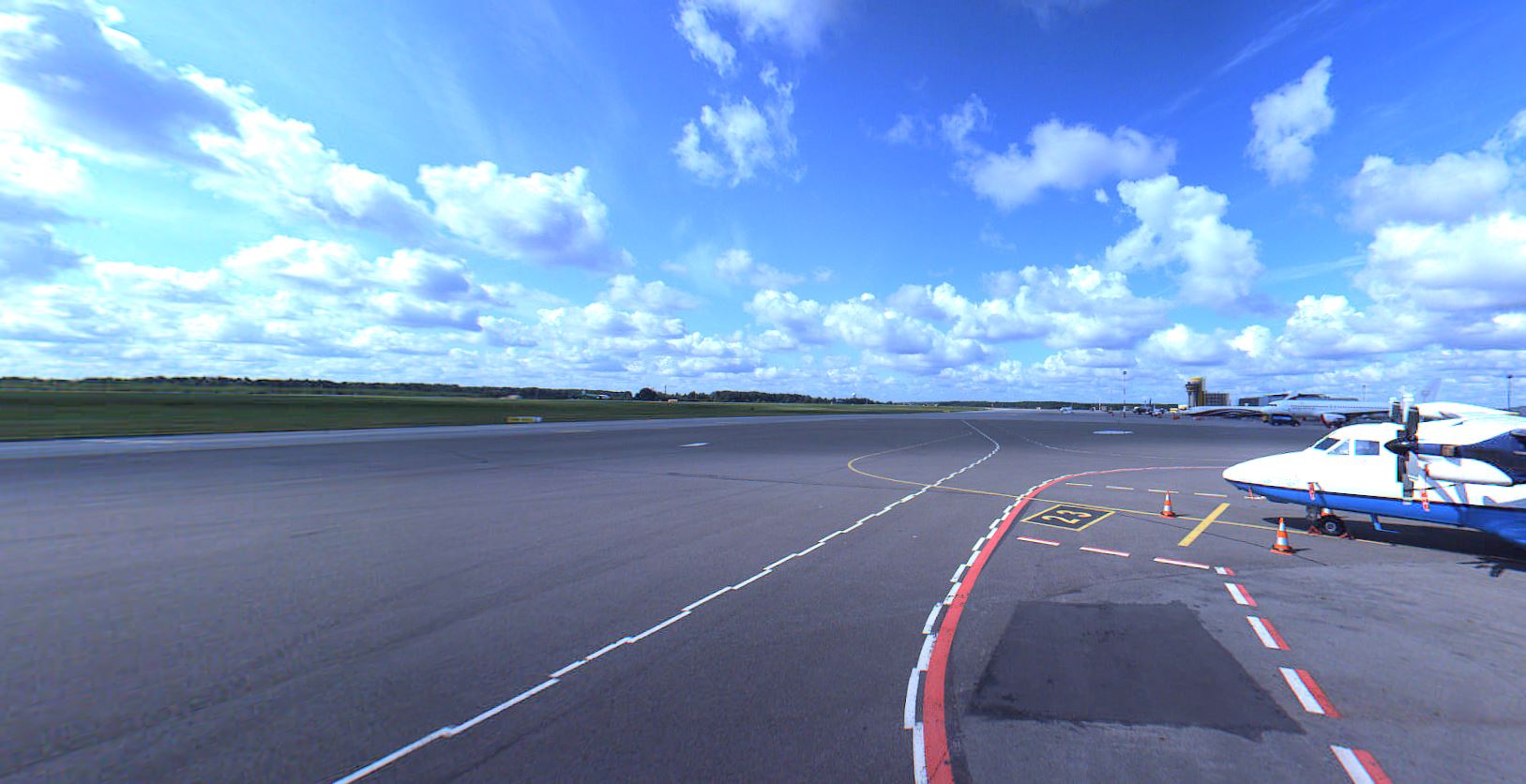
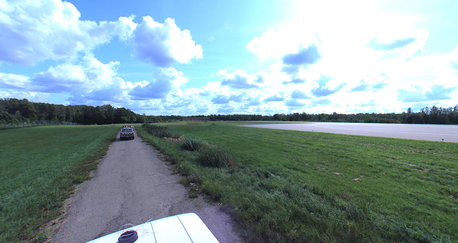
We had a pleasure to drive over all territory inside and outside the Kaunas international airport. We gathered few billions of points and made some hardcore drawings. It is always nice to have a project where not everyone can even access to.
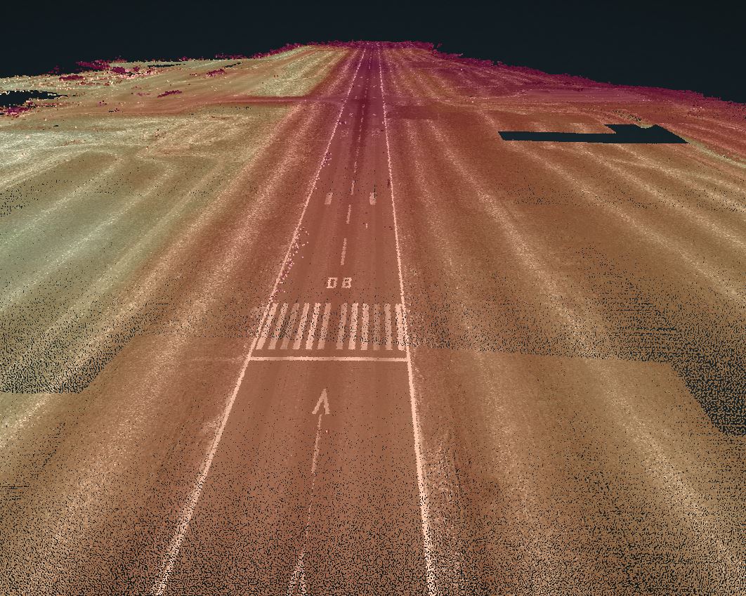
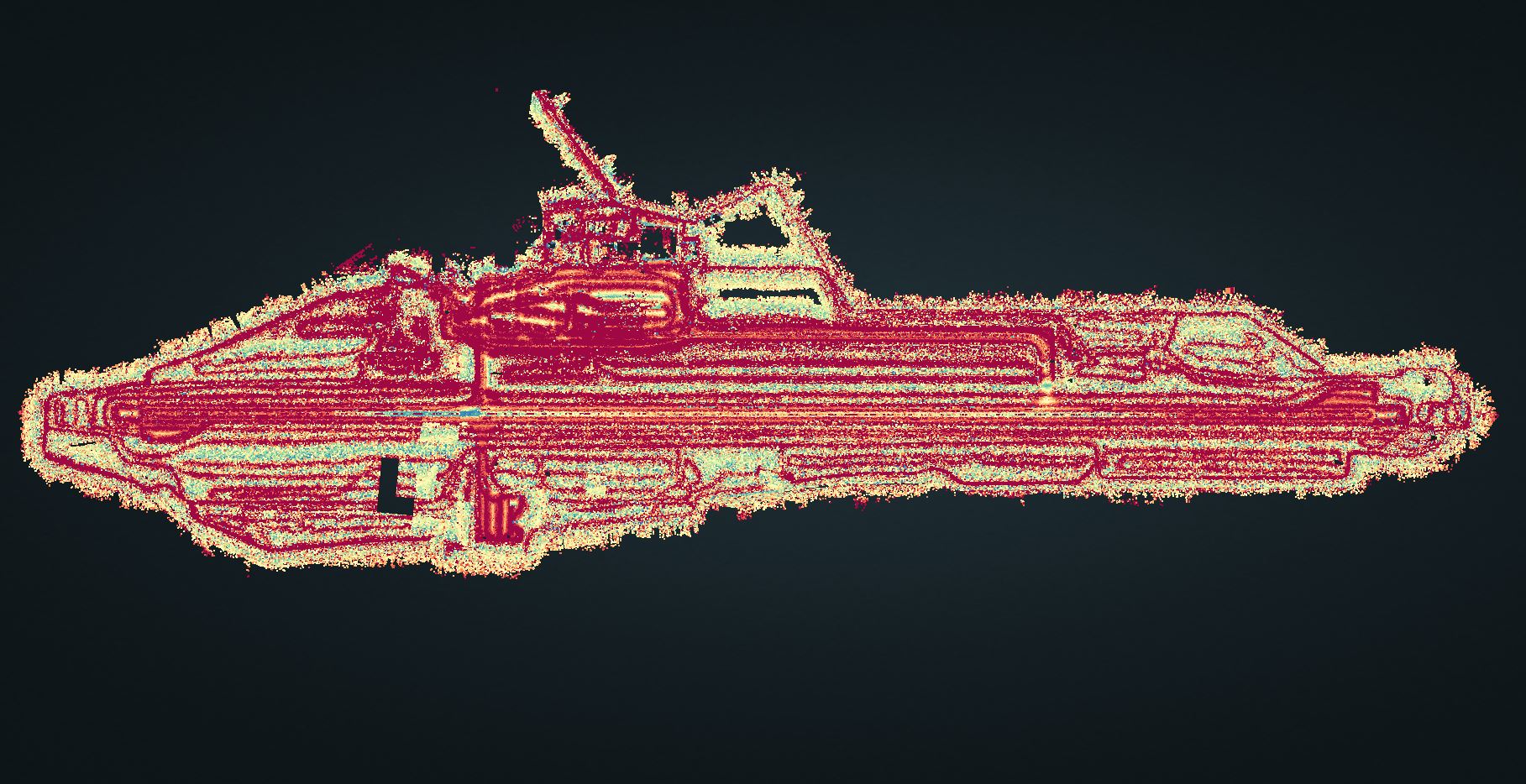
After scanning and vectorizing, we added everything togather and made a pritty nice surface model. You can see pointcloud above and notice that all planes and buildings are missing. This is due to it was after first classification process. Only ground points are showed in the photos.