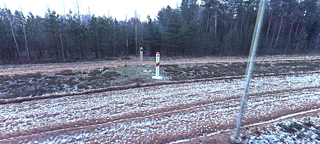
130 km Lithuania-Belarus Border LiDAR scan and survey
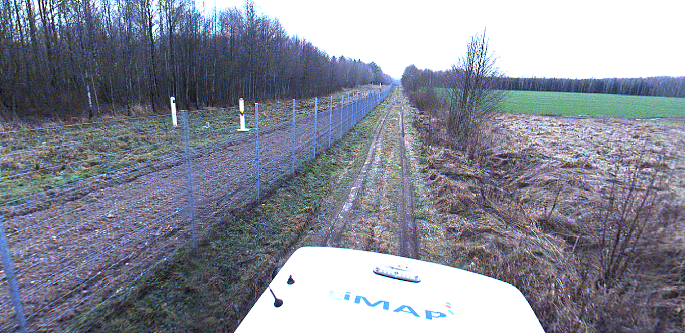
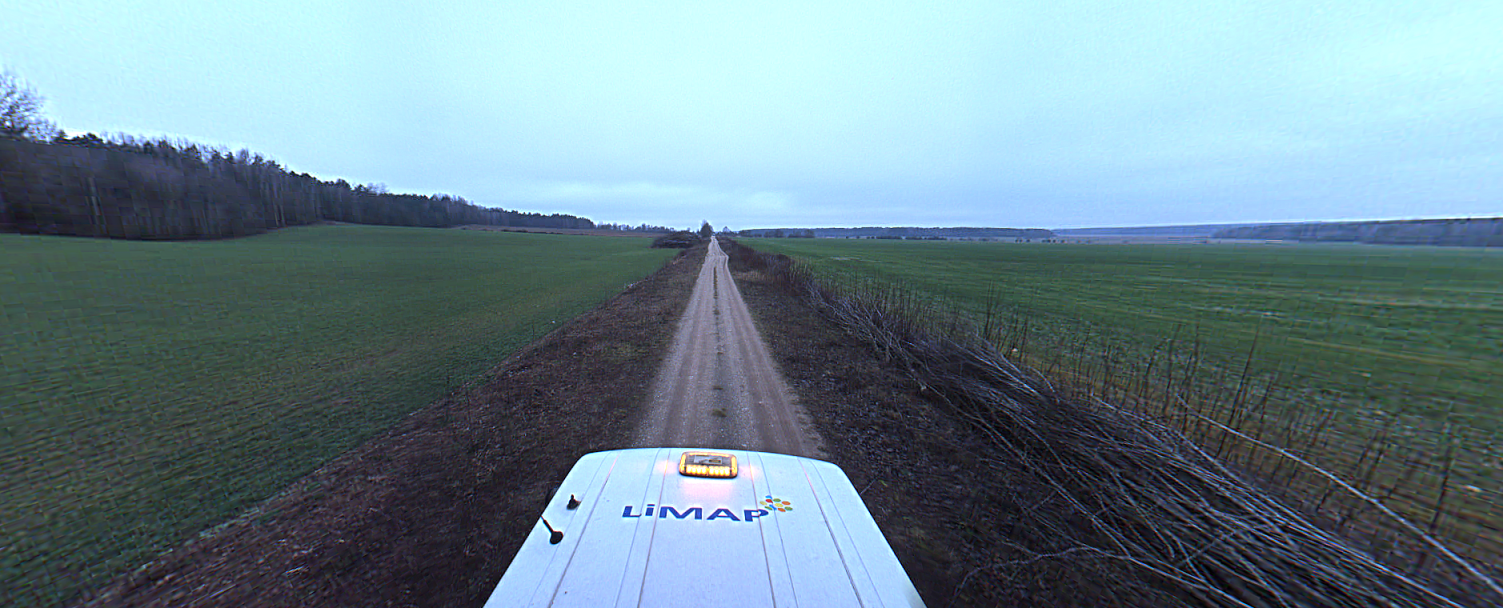
In the late autumn we have started a simple topographical plan preparation task. It is usual for us, each year we survey the Republic of Lithuania border wall. This project was no different. It is a 130 km LiDAR scan with 2D topographical plan preparation of troops path investigating places where our Client will have to design and build cameras around every 70 meters.
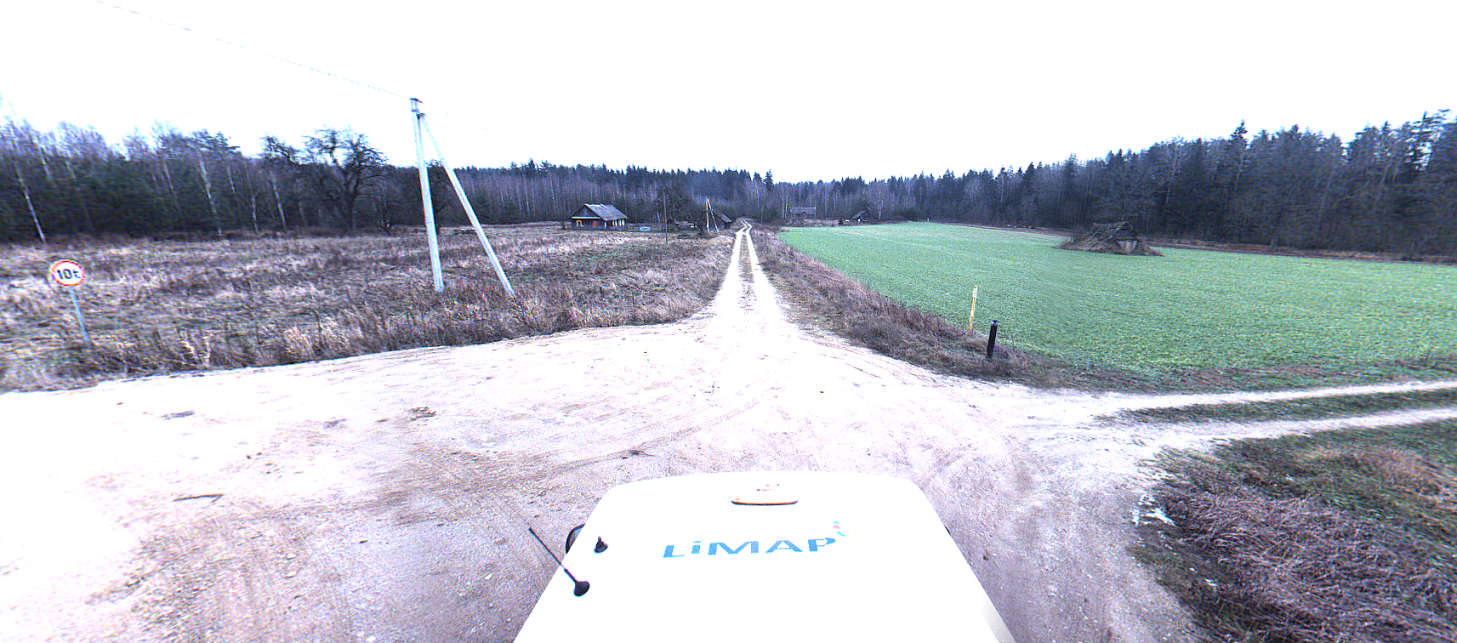
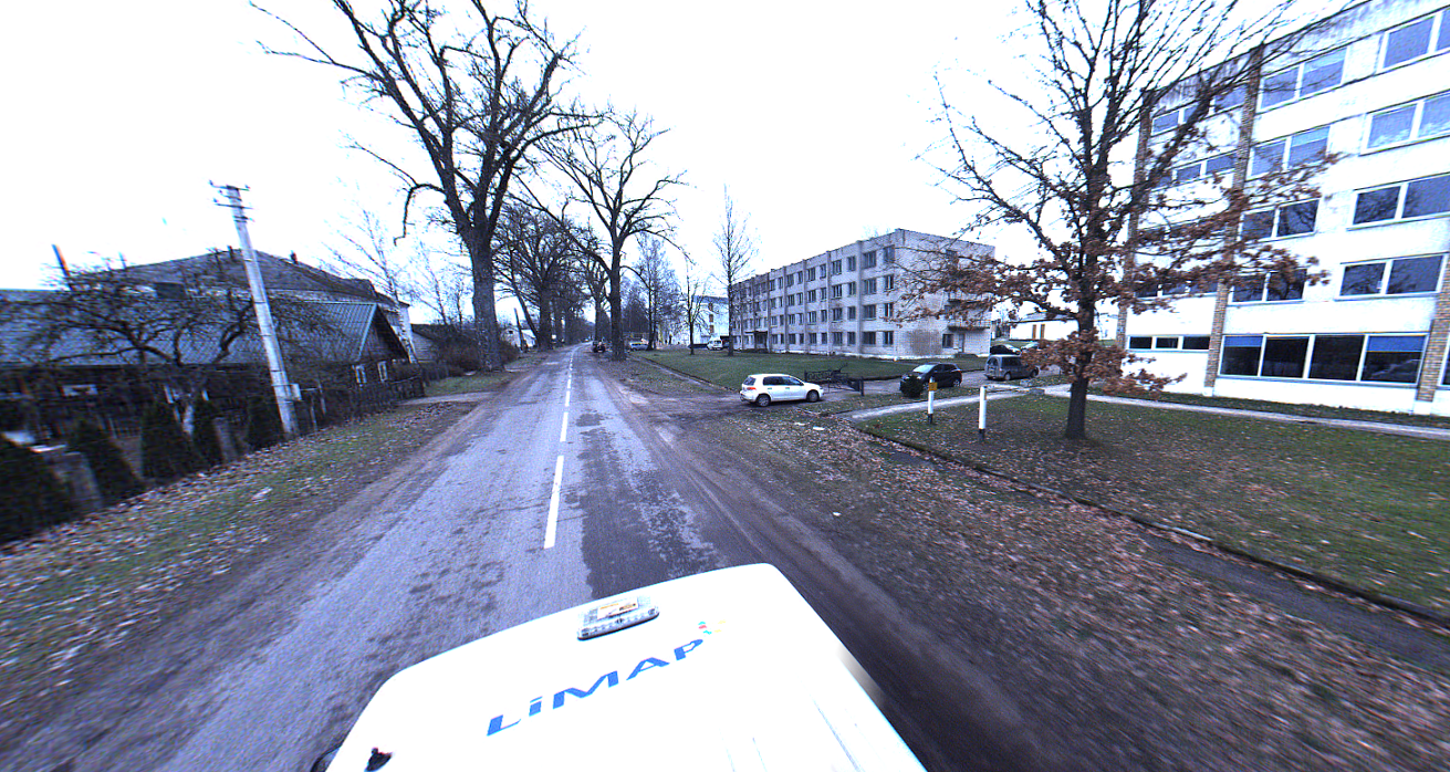
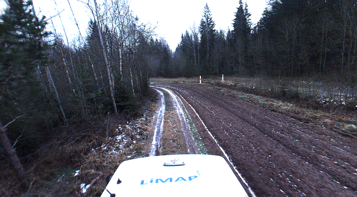
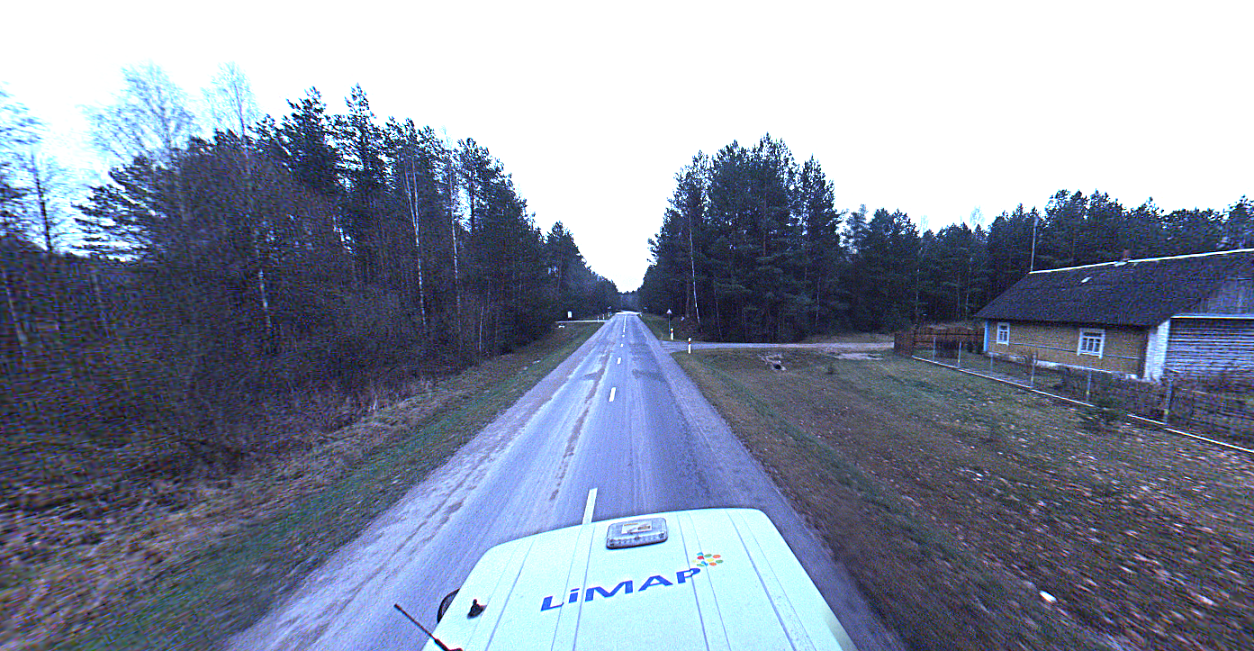
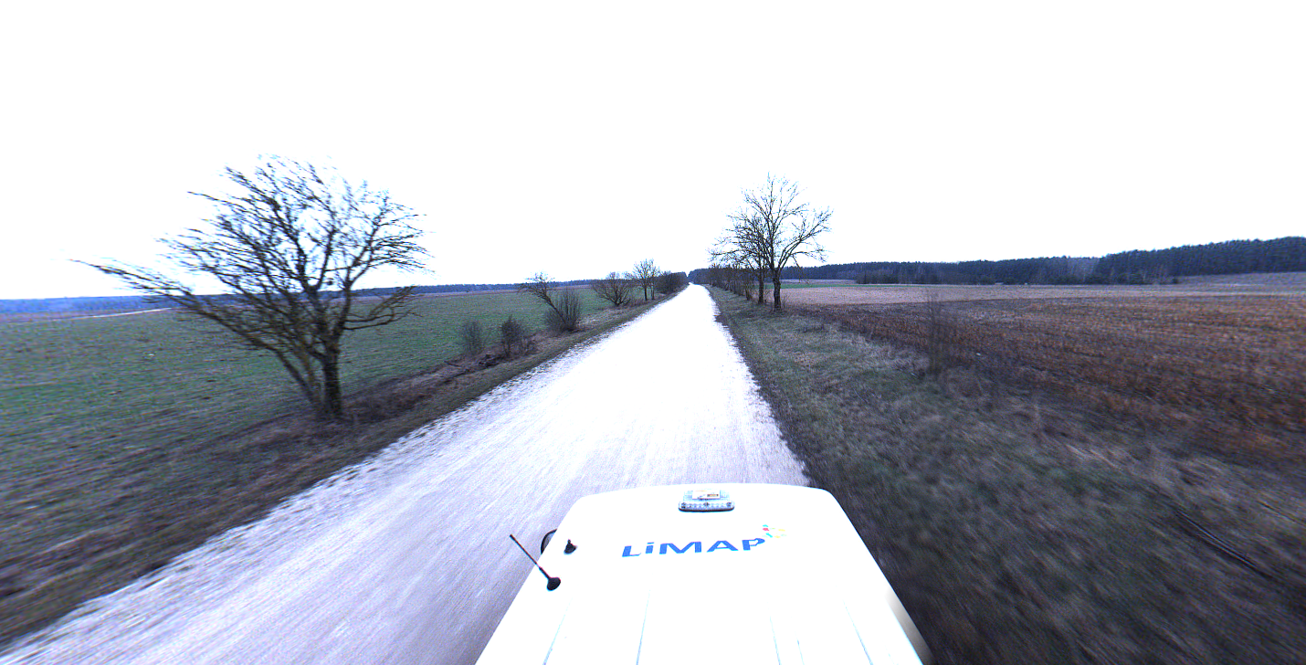
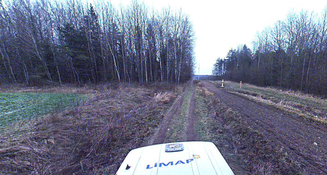


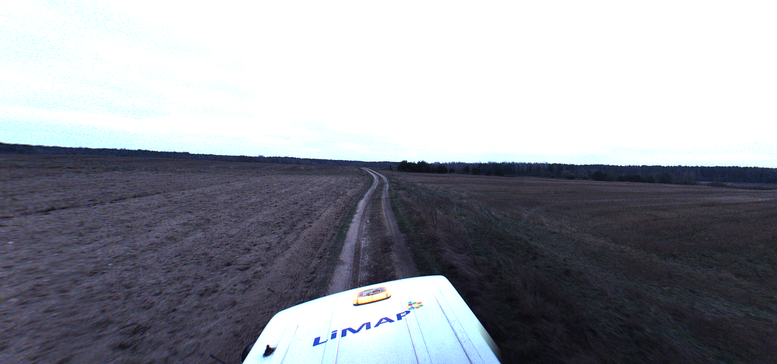
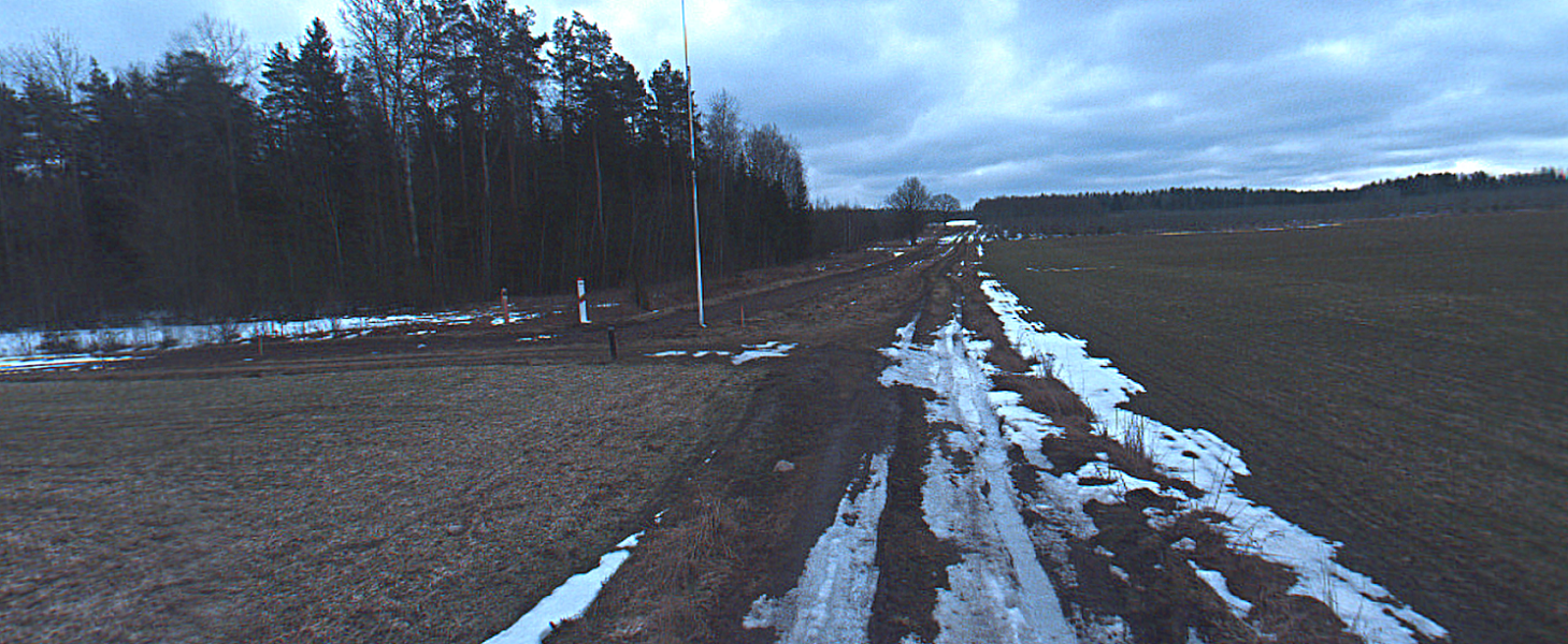
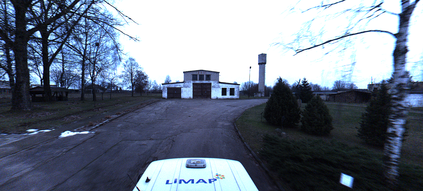
As always, for a big (in this case – long) project Client asks for us when it is hard to do or when it is required to do very fast. So we did. We did a scan in a few days. Unfortunately, we were not able to drive to all border areas due to the fact that in some places there was no road for our VW Transporter.
We took our GNSS and in some cases our Total stations and did some good old surveying by traditional methods. It was around 20 km in total length so it was not a very hard task for the surveyors with a good physical preparation.
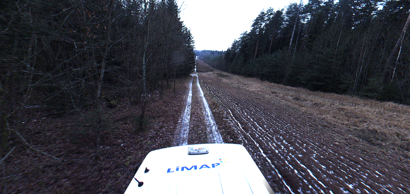
After some time, guys from the State border guard service started to call us and ask if our guys were in one place, in another place. We didn’t understand in the beginning what was happening. You see, the Border section was with Belarus. And it was just a beguining of illegal immigration wave that made much trouble for State boarder guard service guys and all Lithuania.
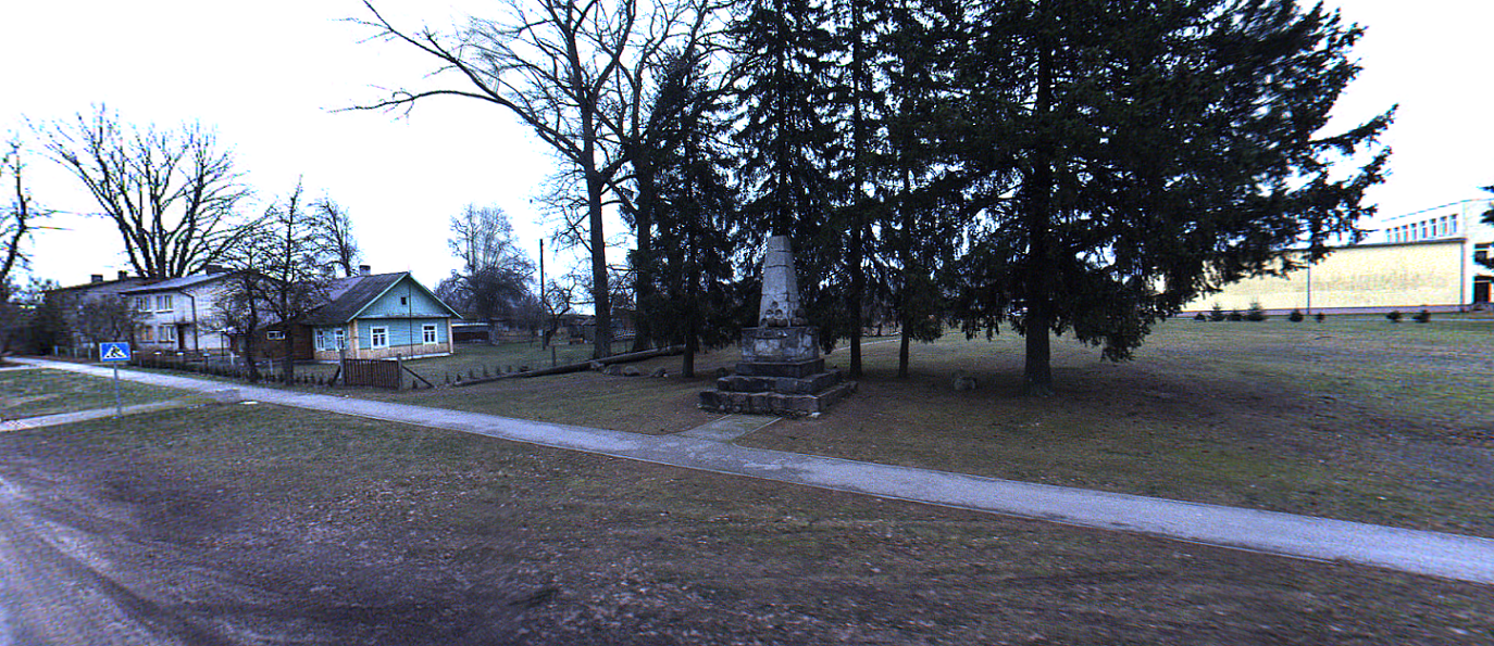
If we would have prolonged our project, we would have been scanning immigrants instead of some deers. It is one of the most intense regions at the Lithuania-Belarus border, going all around Dieveniskes. We wish for the State border guard service guys to stay strong!
Laisvės TV made a very nice and selfless project where you can donate money to support our State border guys, their families with better rest and for more efficient equipment in their job. More information here.