July 30, 2022
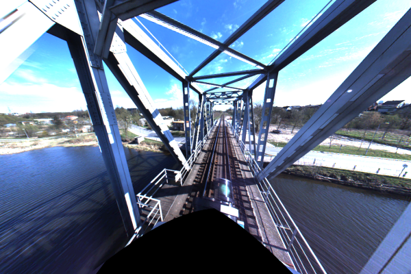
Klaipeda-Rimkai Railway topographical plan
Railway LiDAR scan Leveling Fully approved topographical plan GNSS and TS measurements
July 30, 2022
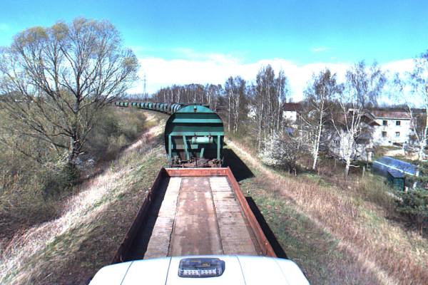
Rimkai-Draugyste Railway topographical plan
Railway LiDAR scan Leveling Fully approved topographical plan GNSS and TS measurements
July 27, 2021
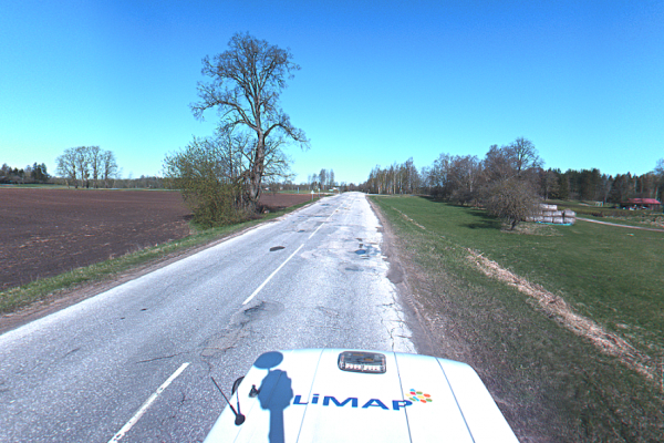
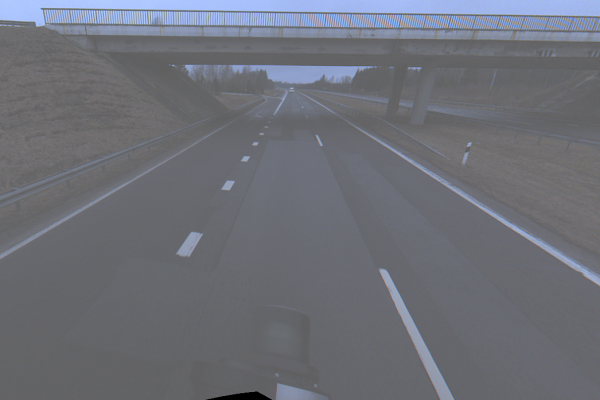
On the right side of the road section of the main road A1 Vilnius-Kaunas-Klaipeda from 258,485 to 260,511 km
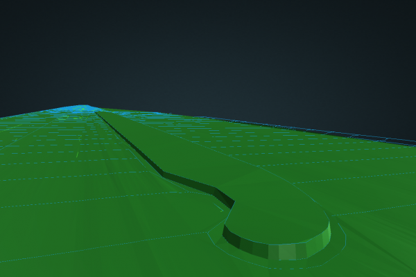
LiDAR scanning Leveling Road vectorization Detailed road surface
July 27, 2021
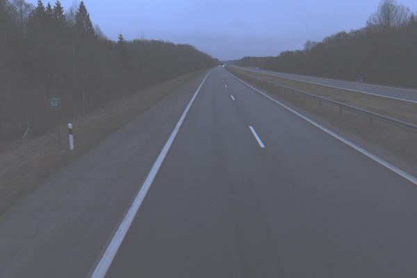
On the left side of the section of the main road A1 Vilnius-Kaunas-Klaipeda from 251,650 to 254,990 km
LiDAR scanning Leveling Road vectorization Detailed road surface
July 25, 2021
Section of the main road A5 Kaunas – Zarasai – Daugavpils from 16,026 to 16,464 km
LiDAR scanning Leveling Road vectorization Detailed road surface
July 25, 2021
Country road no. 130 Kaunas-Prienai-Alytus section from 34,402 to 46,631 km
LiDAR scanning Leveling Road vectorization Detailed road surface
July 25, 2021
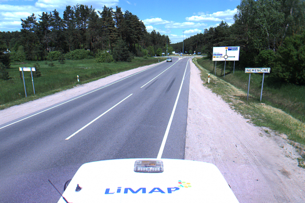
A.Mickeviciaus st., Nemencine
LiDAR scanning Leveling Road vectorization Detailed road surface

